Log in
All resources
Create a design
461 Free Artworks of Maps Atlantis
maps made in the 17th century
maps made in the 18th century
atlantis magni tomus quartus (biblioteca comunale di trento)
municipal library of trento
atlantis magni tomus quintus (biblioteca comunale di trento)
maps by pieter schenk (i)
gerard valck
maps by gerard valck
atlantis magni tomus secundus (biblioteca comunale di trento)
atlantis magni tomus primus (biblioteca comunale di trento)
atlantis magni tomus quintus (biblioteca comunale di trento)
maps made in the 17th century
maps made in the 17th century
jan janssonius
atlantis magni tomus quintus (biblioteca comunale di trento)
maps made in the 17th century
atlantis magni tomus primus (biblioteca comunale di trento)
maps made in the 17th century
atlantis magni tomus primus (biblioteca comunale di trento)
maps made in the 17th century
atlantis magni tomus quartus (biblioteca comunale di trento)
maps made in the 17th century
maps made in the 17th century
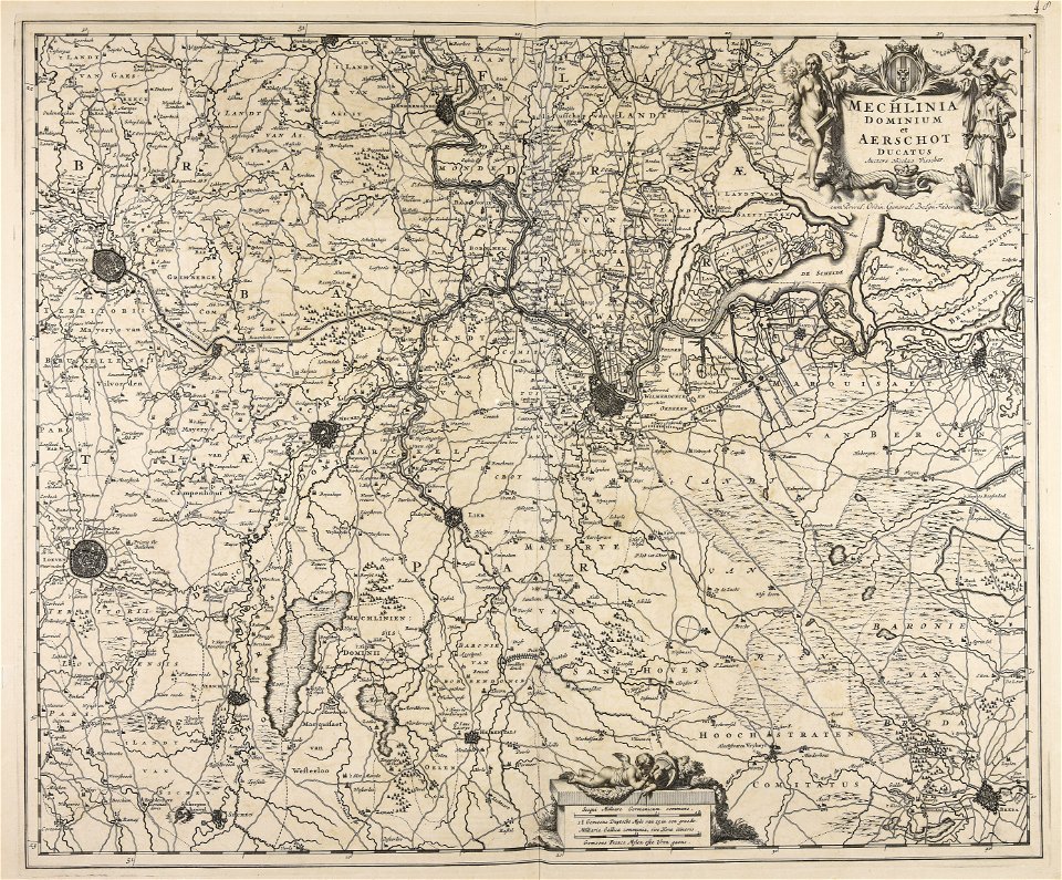
paesi bassi
atlantis magni tomus primus (biblioteca comunale di trento)
maps made in the 18th century
atlantis magni tomus quartus (biblioteca comunale di trento)
maps made in the 17th century
maps made in the 17th century
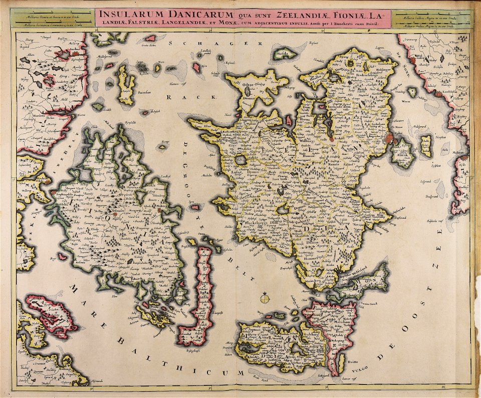
danimarca
atlantis magni tomus primus (biblioteca comunale di trento)
johann baptist homann
maps made in the 17th century
jan janssonius
atlantis magni tomus quartus (biblioteca comunale di trento)
maps made in the 17th century
maps made in the 18th century
johann baptist homann
maps made in the 17th century
gerard valck
maps made in the 18th century
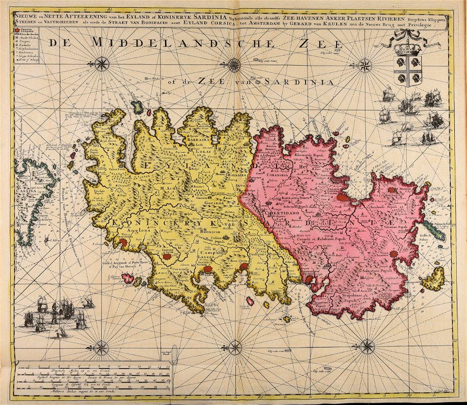
sardinia
atlantis magni tomus quintus (biblioteca comunale di trento)
maps made in the 17th century
atlantis magni tomus primus (biblioteca comunale di trento)
17th-century maps of schleswig-holstein
atlantis magni tomus secundus (biblioteca comunale di trento)
maps made in the 17th century
atlantis magni tomus secundus (biblioteca comunale di trento)
maps made in the 17th century
maps made in the 18th century
johann baptist homann
maps made in the 17th century
nicolaes visscher ii
maps made in the 17th century
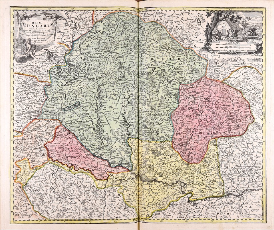
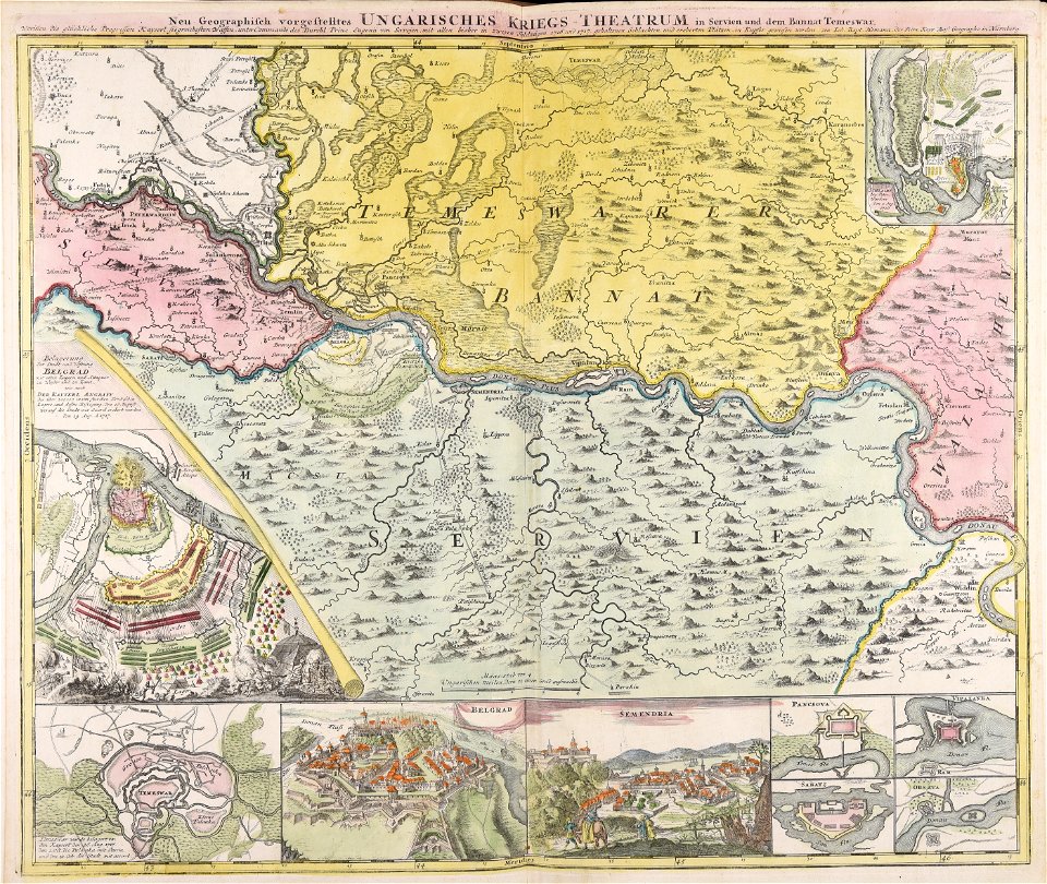
ungheria
maps made in the 17th century
dnieper river
maps made in the 17th century
giappone
atlantis magni tomus secundus (biblioteca comunale di trento)
maps made in the 17th century
johann baptist homann
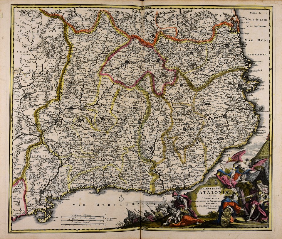
catalonia
atlantis magni tomus secundus (biblioteca comunale di trento)
maps made in the 17th century
cornelis danckerts (i)
defensive walls
maps made in the 18th century
cornelis danckerts (i)
maps made in the 17th century
belgio
johann baptist homann
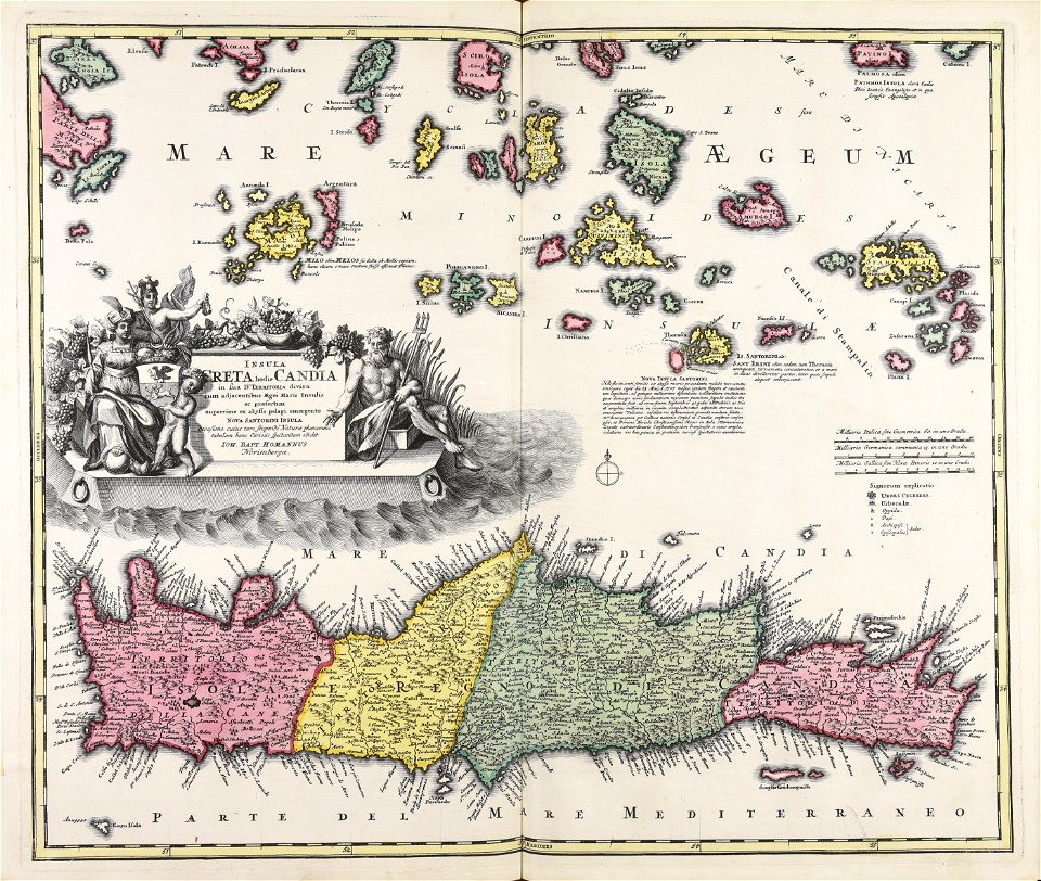
creta
atlantis magni tomus quintus (biblioteca comunale di trento)
topographic maps made in 18th century
old maps of nuremberg
johann baptist homann
maps made in the 17th century
nicolaes visscher ii
johann baptist homann
ungheria
atlantis magni tomus quartus (biblioteca comunale di trento)
maps made in the 17th century
johann baptist homann
earth
maps made in the 17th century
jan janssonius
maps made in the 18th century
johann baptist homann
atlantis magni tomus quartus (biblioteca comunale di trento)
maps made in the 17th century
maps by pieter schenk (i)
gerard valck
atlantis magni tomus secundus (biblioteca comunale di trento)
maps made in the 17th century
johann baptist homann
ungheria
maps made in the 17th century
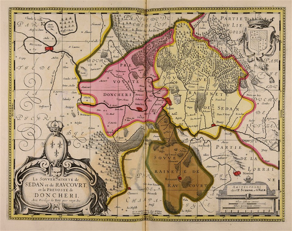
principality of sedan
maps made in the 17th century
nicolaes visscher ii
atlantis magni tomus quintus (biblioteca comunale di trento)
maps made in the 18th century
atlantis magni tomus quintus (biblioteca comunale di trento)
maps made in the 18th century
atlantis magni tomus secundus (biblioteca comunale di trento)
maps made in the 17th century
maps made in the 17th century
jan janssonius
maps made in the 17th century
nicolaes visscher ii
maps made in the 18th century
works by guillaume delisle
topographic maps made in 18th century
jeremias wolff
maps made in the 17th century
jan janssonius
maps made in the 18th century
johann baptist homann
maps made in the 18th century
johann baptist homann
topographic maps made in 18th century
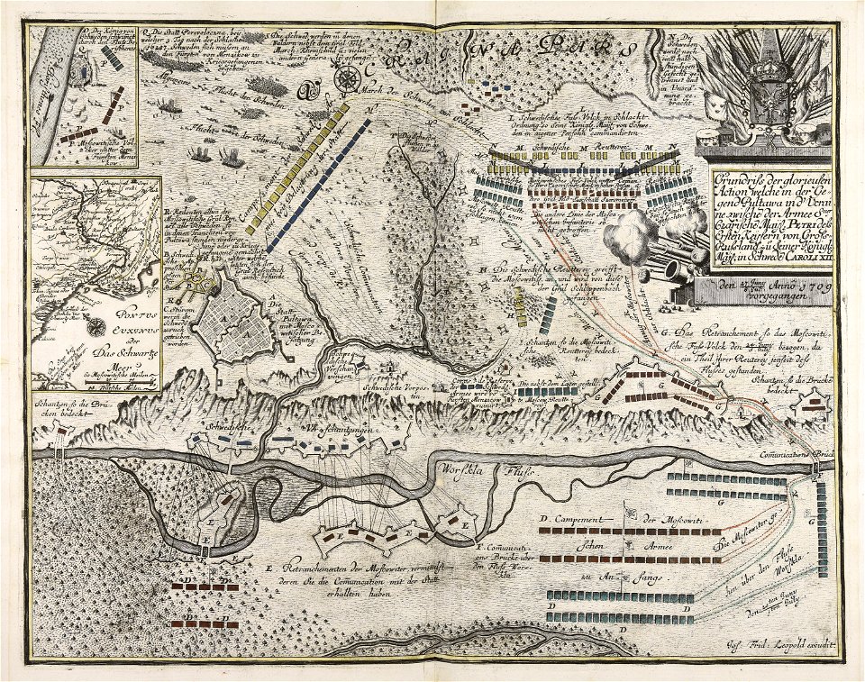
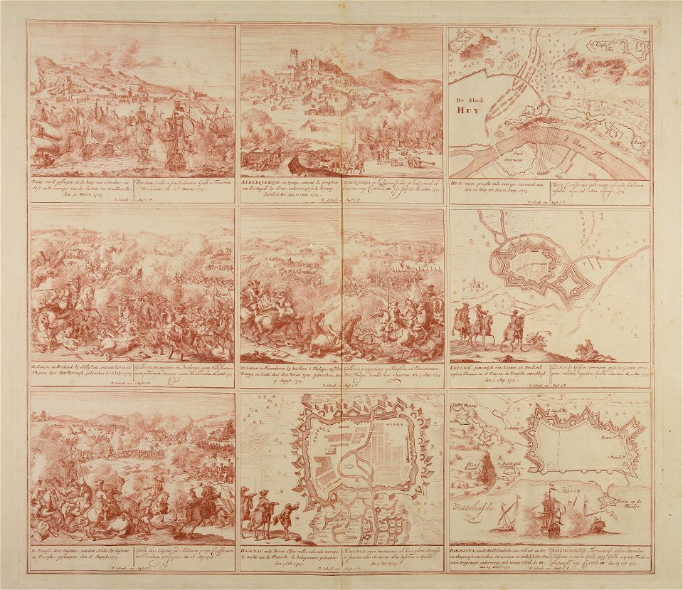
battaglia di malplaquet. 1709
maps made in the 18th century
jeremias wolff
topographic maps made in 18th century
jeremias wolff
maps made in the 18th century
johann baptist homann
maps made in the 18th century
18th-century engravings
maps made in the 18th century
18th-century engravings
maps made in the 18th century
18th-century engravings
maps made in the 18th century
18th-century engravings
maps made in the 18th century
18th-century engravings
maps made in the 18th century
18th-century engravings
maps made in the 18th century
18th-century engravings
maps made in the 18th century
18th-century engravings
maps made in the 18th century
18th-century engravings
cartouches by sanson family
old maps of atlantis
old maps of atlantis
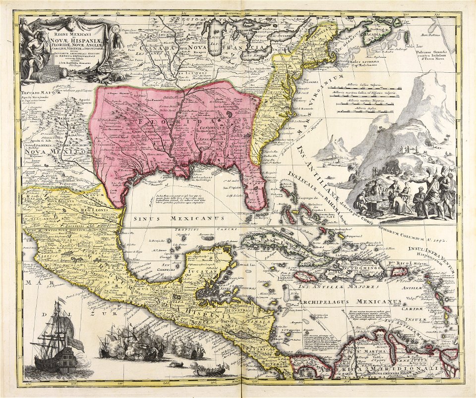
island of california
old maps of atlantis
island of california
old maps of atlantis
island of california
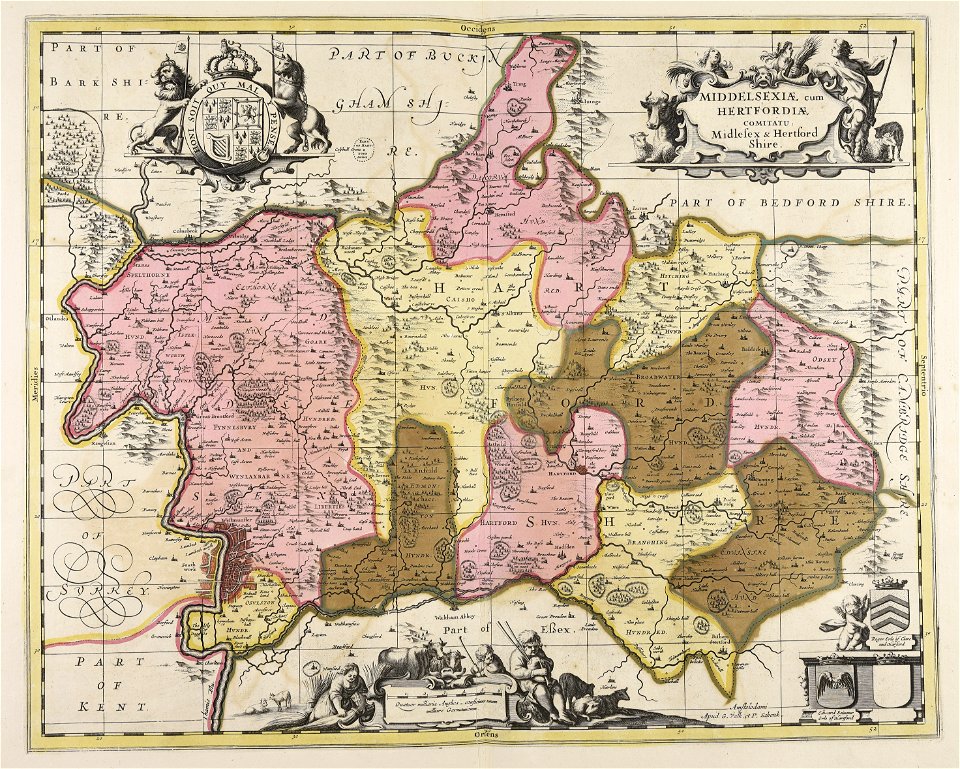
old county maps of hampshire
old county maps of berkshire
maps of mecklenburg-schwerin
old maps of mecklenburg
maps in the library of congress
animals on maps
maps by pieter schenk (i)
maps by gerard valck
gerardi mercatoris atlantis novi. pars tetria (1638)
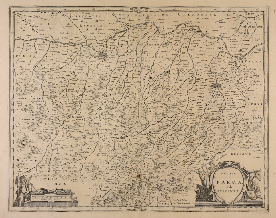
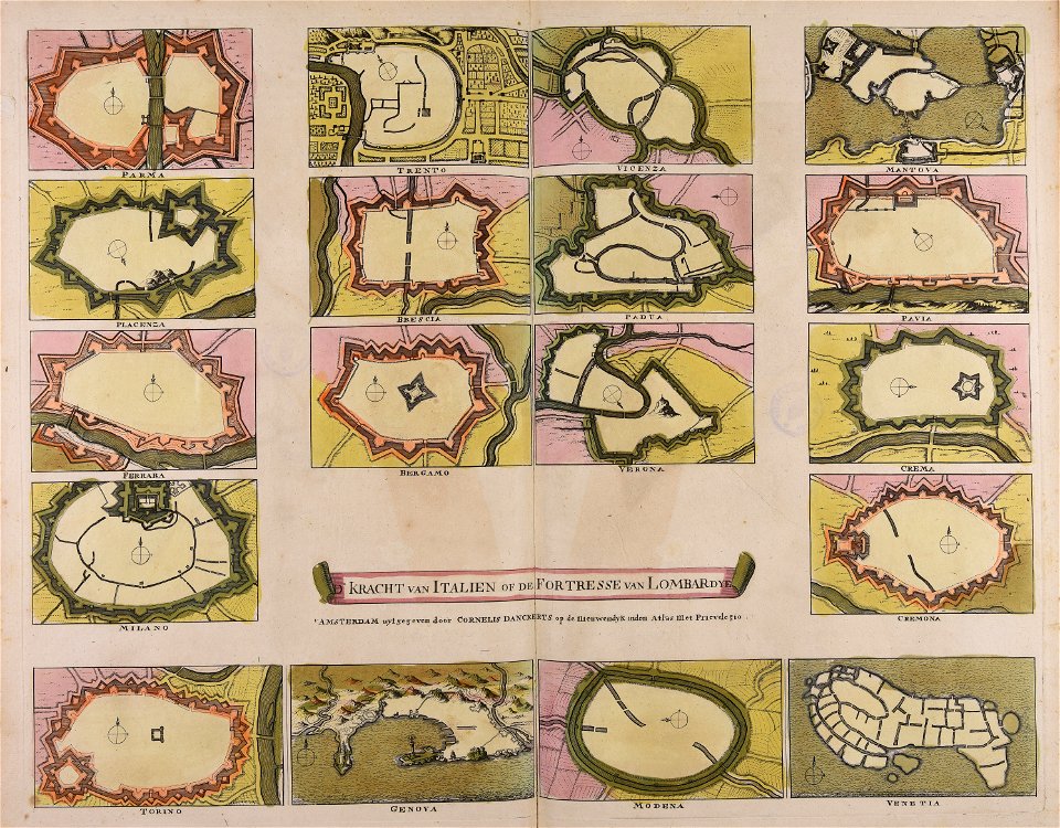
17th-century maps of lombardy
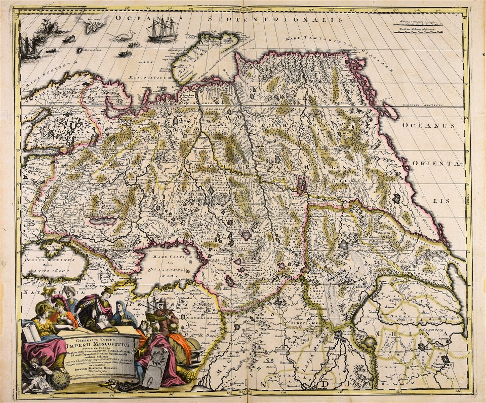
1700s maps of the ottoman empire
maps made in the 17th century
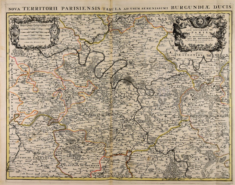
17th-century maps of france
old maps of loiret
17th-century maps of lower saxony
maps of the duchy of oldenburg
17th-century maps of lorraine
old maps of pays messin
maps made in the 17th century
penisola balcanica
1702 maps of france
1702 in guyenne
18th-century celestial maps
1708 maps
maps by pieter schenk (i)
maps by gerard valck
maps of the roman catholic diocese of liège
maps made in the 17th century
17th-century maps of cumberland
old county maps of cumberland
17th-century maps of france
maps of touraine
17th-century maps of saxony
old maps of vogtland
old county maps of gloucestershire
old county maps of monmouthshire
old county maps of leicestershire
old county maps of rutland
maps by pieter schenk (i)
maps by gerard valck
old maps of atlantis
island of california
17th-century maps of france
loudun (territorio)
17th-century maps of ireland
maps of munster, ireland
17th-century maps of ireland
old maps of connaught
17th-century maps of xaintonge
maps by gerard valck
17th-century maps of dordogne
sarlat-la-canéda
maps made in the 17th century
rethel (territorio)
301 - 400 of 461
Next page
/ 5